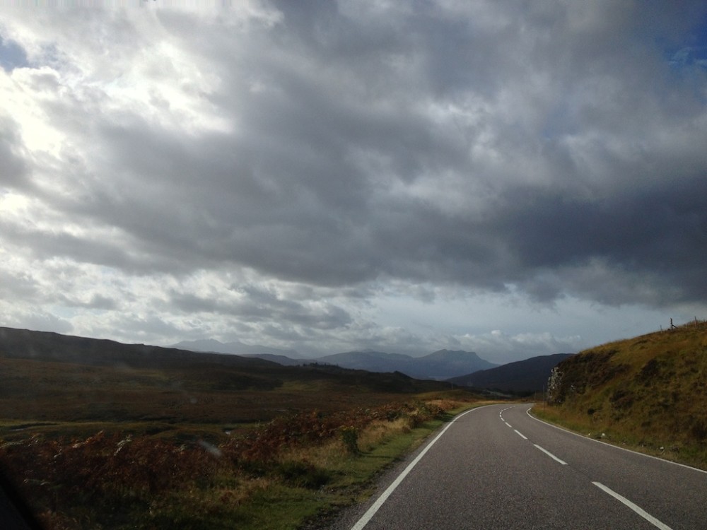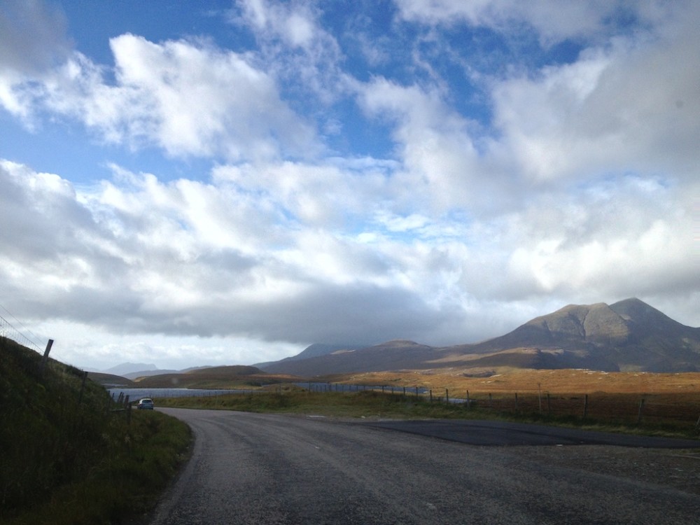
If you look at a map of Scotland’s west coast, you’ll notice that it’s awfully jagged. One can’t exactly drive along it for any significant stretch; instead you just kind of drive near it, wherever the (often single-lane) road takes you.
After a morning hike in Ullapool, we hopped in the car and headed north. We were looking forward to this bit, as we had heard it contained some of the loveliest scenery in all of Scotland. We gave ourselves plenty of time for the drive, knowing we’d want buffer to be able to stop for photo ops and maybe some short walks along the way.
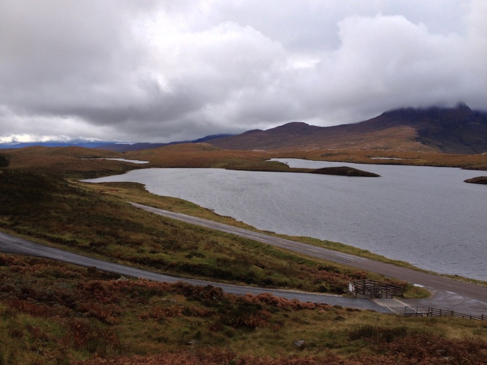
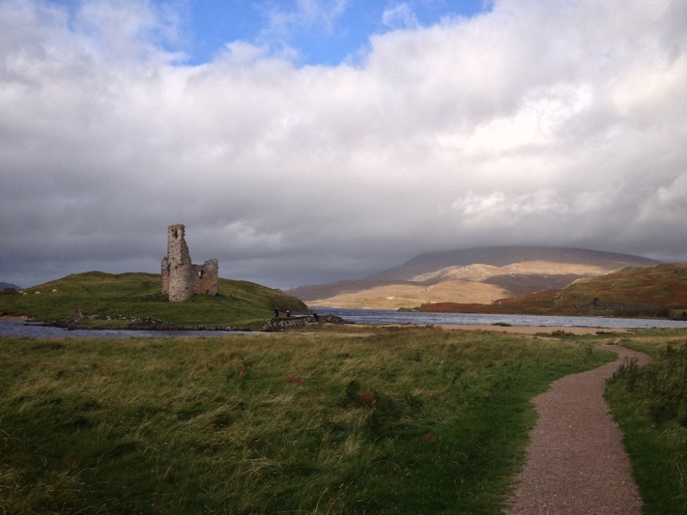
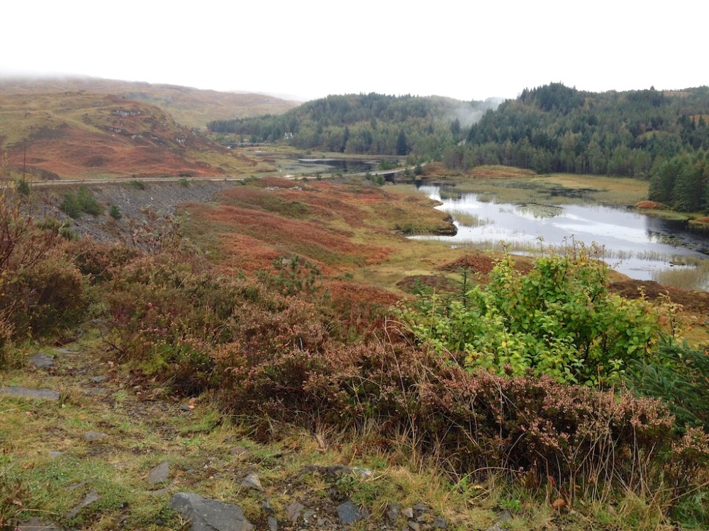
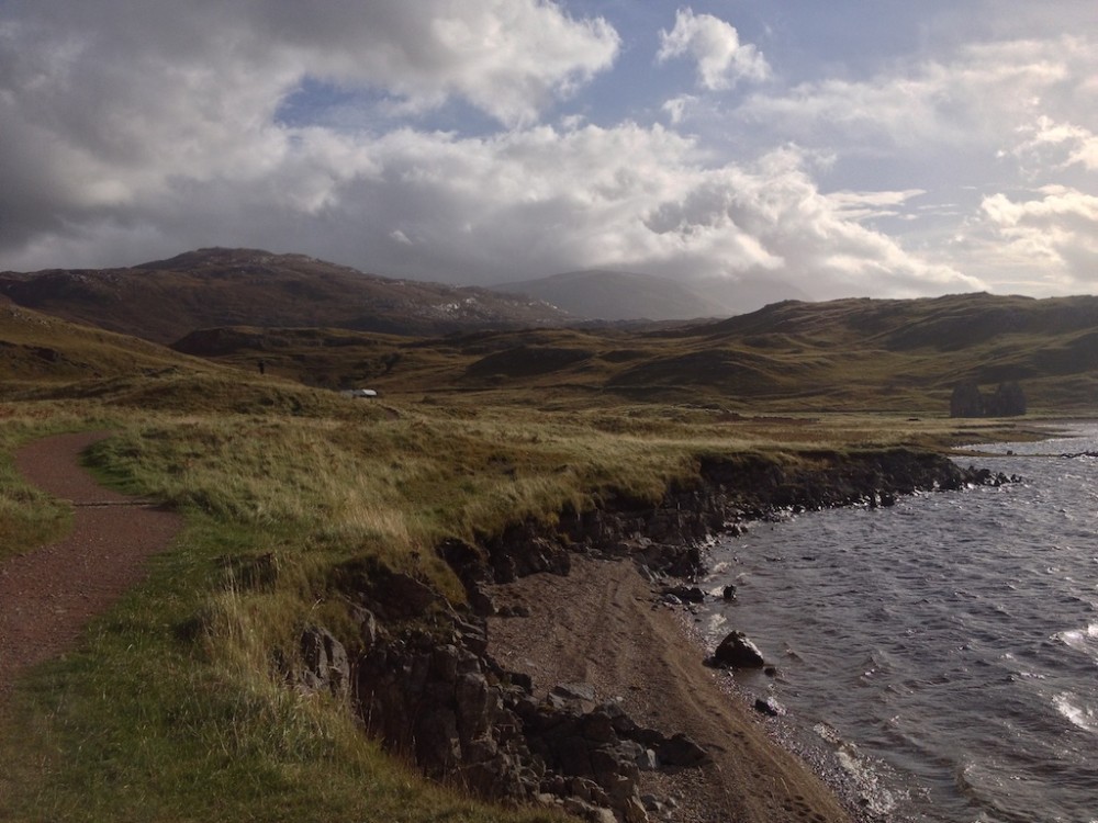
We were issued some standard Scottish weather for the drive: dark and moody one minute, sun-bursting-through-cloud gloriousness the next. Photos turned out much better when the sun was peeking through, but the scenery was plenty enjoyable even without it.
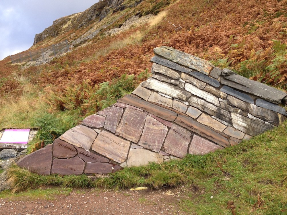
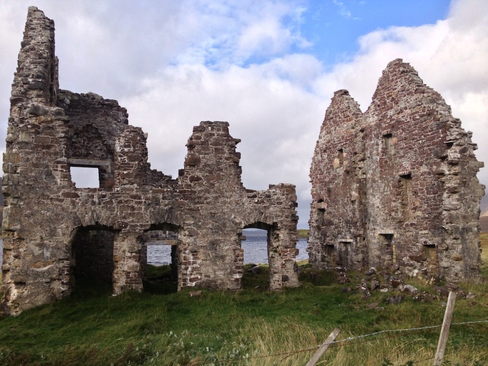
There were plenty of places to stop along the way, such as a small geological center where we got to learn about the rock formations of Scotland (above) and the ruins of Ardvreck Castle (below).
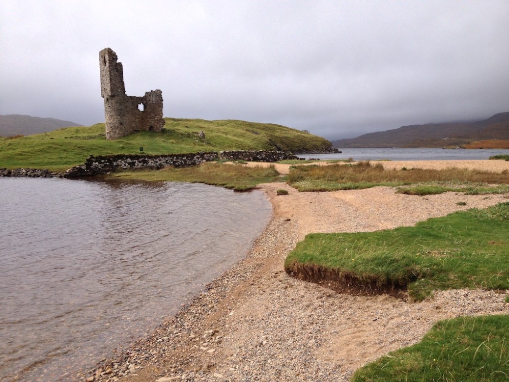
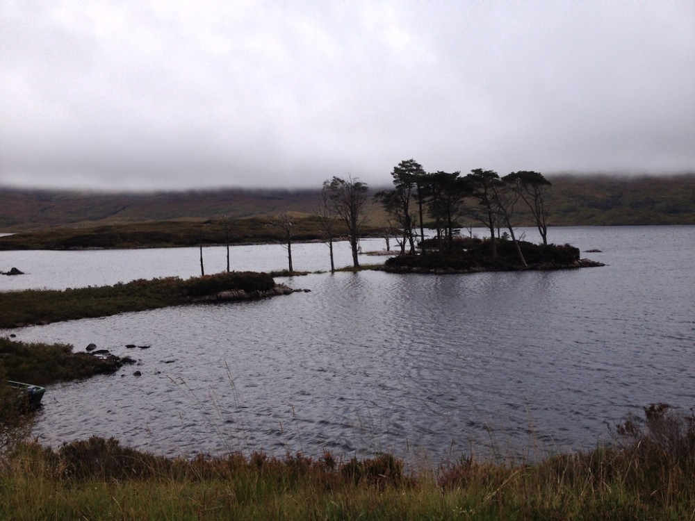
Most of the water we passed consisted of tidal lakes.
What we didn’t see many of were gas stations. To anyone planning to make this drive, be sure your tank is full when you leave Ullapool (or whatever town you are starting in).
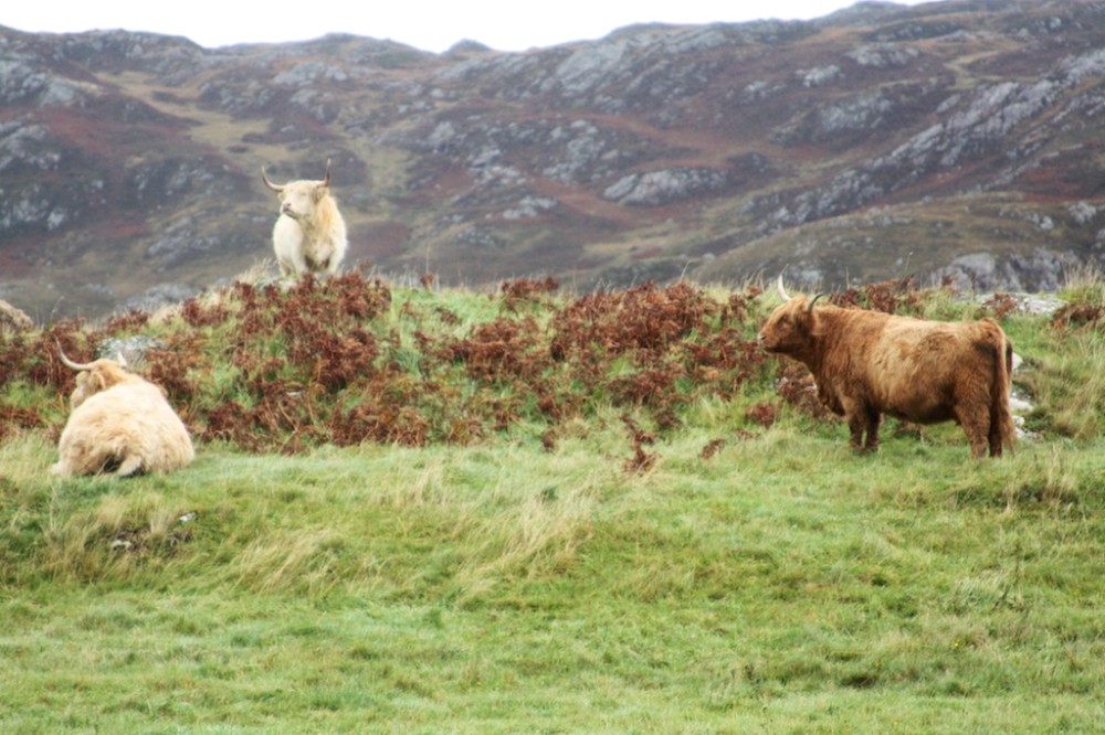
We wondered whether the hairy coos appreciated the views.
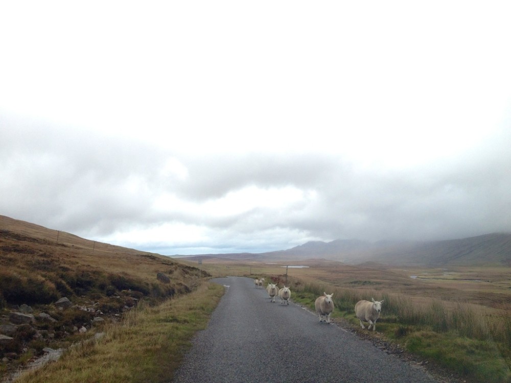
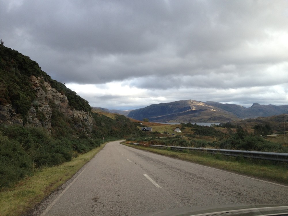
The last stretch was single-lane for quite a while, with small passing areas at regular intervals. We were grateful to be doing the drive in the shoulder season, when there wasn’t much traffic to pass. Not that I imagine it ever gets painfully busy, but when you have to pull over for each oncoming vehicle, the fewer cars the better.
Next stop on our road trip: hiking amongst giant sand dunes at the northwest corner of Scotland.
